Getting started
The map-creation form on the home page has two tabs, and they cover the two ways to search for POIs: Create map for uploading a GPX route, and Radius search for a plain search around a point. Whichever you used last is remembered and selected again the next time you visit.
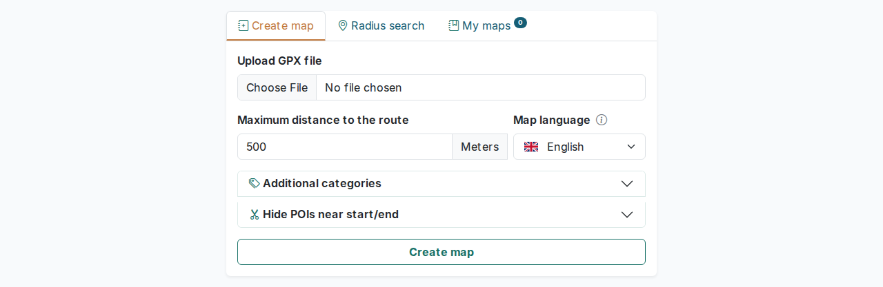
Option 1: upload a GPX route
Use this when you already have a planned route, for example one exported from a navigation or fitness app, and you want POIs along its entire length.
- Choose a
.gpxfile from your device. As soon as you pick one, OnRouteMap reads it in your browser and shows the route's length plus an estimated processing time, so you know what to expect before submitting anything. If the file isn't valid GPX, or the route is longer than 1,000 km, it tells you right there and blocks the submit button. - Set Max distance: how far from the route OnRouteMap should search for POIs, in meters (10–2000, default 500).
- Choose the map language, which controls the language of labels baked into the generated map. This is separate from the interface language of the website itself.
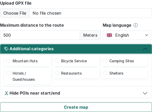
- Optionally expand Additional categories to include POI types that aren't searched by default. See Searching & filtering POIs for the full list. A short warning appears once you tick any of these, since they add to the processing time.
- Optionally expand Hide POIs near start/end to exclude POIs within a chosen distance of the route's start and/or end, in kilometers, handy if your route begins or finishes somewhere you already know well and don't need supermarkets or cafes pointed out again. Both default to 0, which includes the whole route.
- Click the Create map button at the bottom. A processing screen with a time estimate stays up while OnRouteMap analyzes the route and looks up POIs.
If your GPX file already contains waypoints and not just a track, they carry over automatically: they show up as their own marker layer on the map, and end up in the GPX/KML export again if you download it later.
Option 2: radius search around a single point
Use this if you don't have a GPX file and just want to see what's around one place.
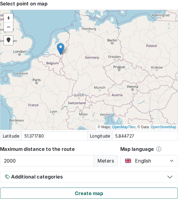
- Click a location on the small map, or use the locate-me control to jump to your current position. Typing latitude/longitude directly also works.
- Set Max distance in meters (10–10,000, default 2000). Since this is a single point rather than a whole route, the allowed range is much larger than for the GPX form.
- Choose the map language and, if you want, any additional categories, same as above.
- Click Create map at the bottom.
What happens next
Either way, you land on a generated map, ready to explore. The map view covers everything you can do there, and My Maps explains how to find that map again later.