Export & routebook
The download button, top-left on route maps, opens every export option in one menu: GPX or KML with the route and every discovered POI (plus any waypoints imported from your original GPX file), ready right after map creation, and GPX or KML with just your starred favorites once you've added at least one.
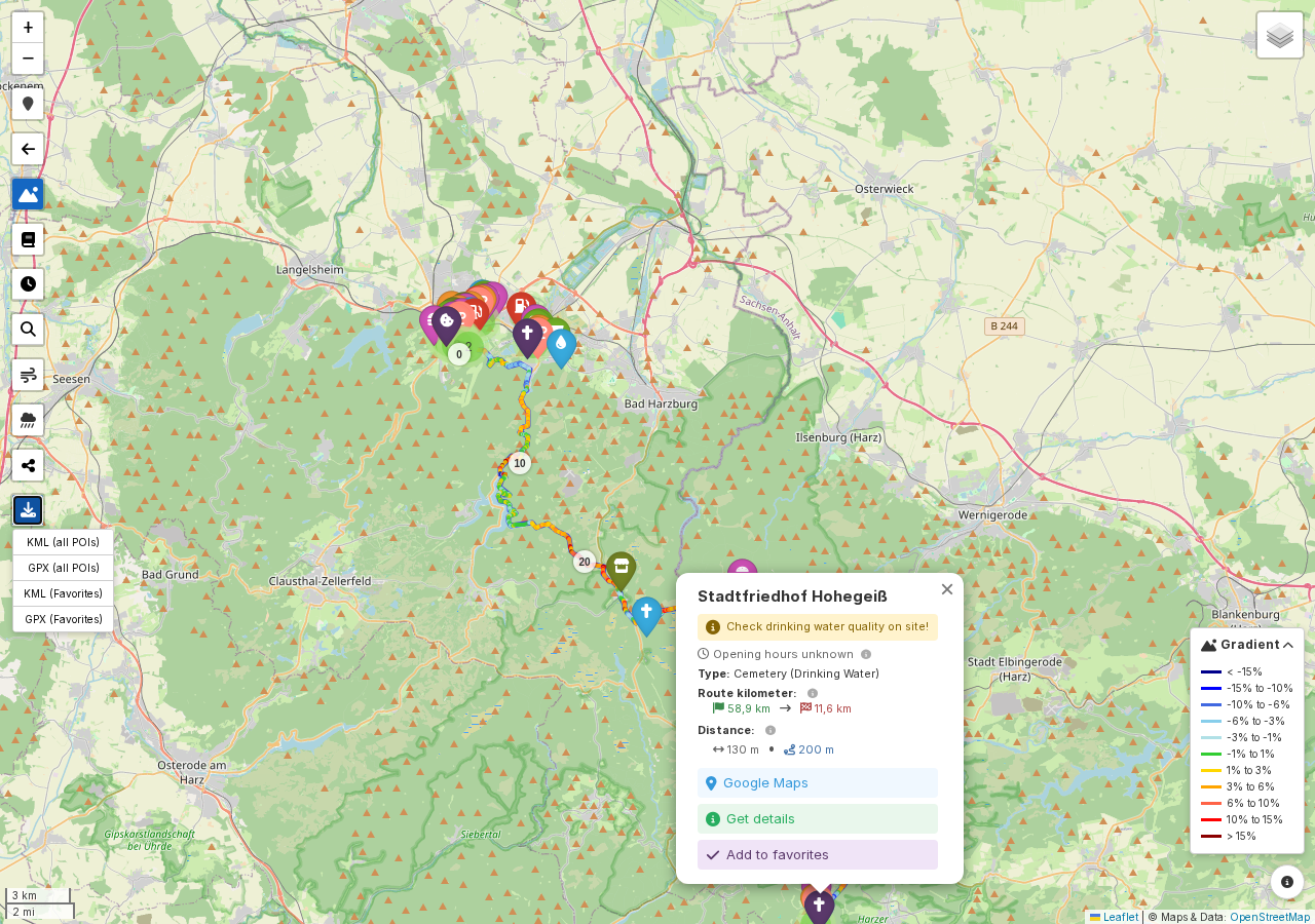
These exports are meant for loading the route and its POIs into a GPS device like a Garmin, or another mapping app, so you can keep riding with everything you planned, even offline. The markers keep their category colors along the way.
Routebook
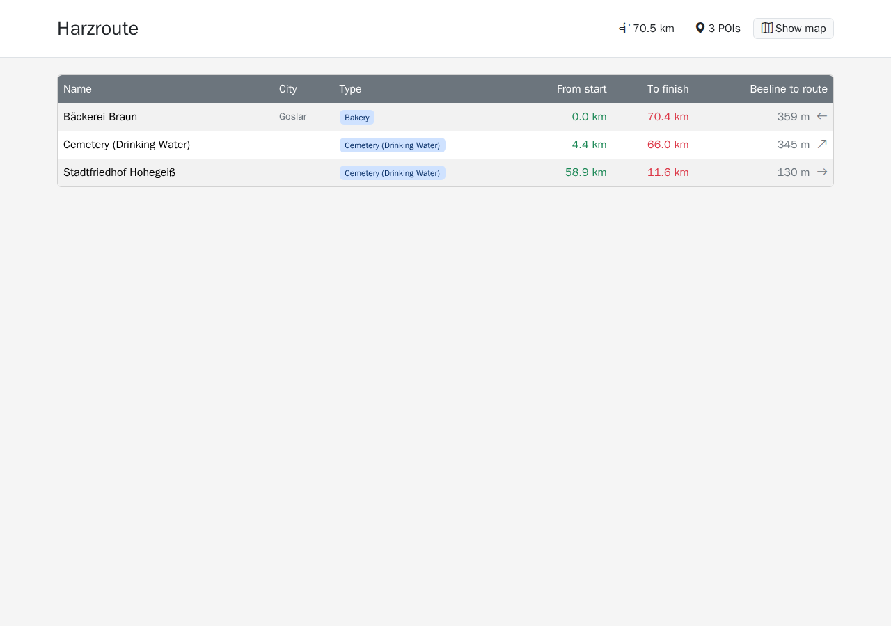
The routebook button, also top-left, opens a printable page listing every favorite: name, city, type, distance from start, distance to finish, and distance to the route, the last one paired with a small compass arrow showing which direction to leave the route in to reach it (hover it for the exact bearing). It's a table on a computer and stacked cards on a phone. Print it with your browser's print function for an A4-landscape layout; the OpenStreetMap/ODbL attribution line only shows up on the printed page. A Show map link takes you back to the map itself.
Note
Without any favorites yet, the routebook just shows an empty-state message, and the routebook button itself reminds you to add some first.